Introduction
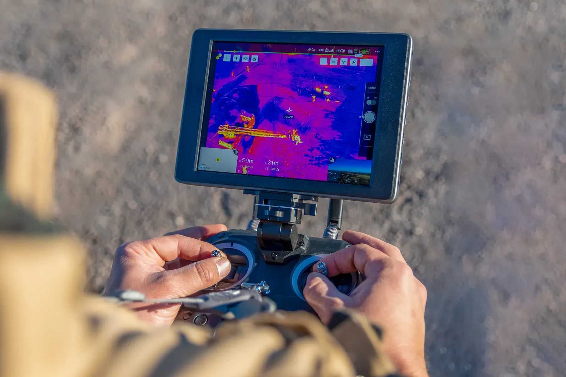
Thermography technology has found its way into the drone world and offers a wide range of applications. This article presents four leading models optimised for different use cases.
Top thermal-camera drones
1. DJI Mavic 3T – The all-rounder
Price: From EUR 5,408.55 incl. VAT
| Specification | Value |
|---|---|
| Sensor | 1/2" CMOS, 12 MP |
| Thermal camera | 640×512 px |
| Max. flight time | 45 minutes |
| Field of view | 15°, equivalent focal length 162 mm |
Rating: 4.5/5
- Suitable for beginners and professionals
- Precise imaging
- Integrated obstacle-detection system
2. DJI Matrice 30T – For harsh environments
Price: EUR 9,268 incl. VAT
| Specification | Value |
|---|---|
| Weight | 3.77 kg |
| Protection rating | IP 55 |
| Cameras | Wide-angle, zoom, infrared |
| Extras | Laser rangefinder |
Rating: 4.5/5
- Robust against adverse weather conditions
- High thermal-image quality
- Collision-avoidance system
3. DJI Matrice 350 RTK – For precise surveying
Price: EUR 9,490 incl. VAT
| Specification | Value |
|---|---|
| Max. flight duration | 55 minutes |
| Transmission range | up to 20 km |
| Obstacle detection | advanced |
Rating: 4.5/5
- Ideal for surveying and mapping tasks
- Long flight duration
- Reliable results
4. Zenmuse H20T – For detailed inspections
Price: EUR 11,929 incl. VAT
| Specification | Value |
|---|---|
| Zoom camera | 20 MP |
| Wide-angle camera | 12 MP |
| Thermal camera | 640×512 px (radiometric) |
| Laser rangefinder | 1,200 m |
Rating: 4.5/5
- Outstanding image quality
- Versatile applicability
- Professional inspection capabilities
Buying advice: key criteria
- Thermal-camera resolution: high-resolution sensors improve performance significantly
- Flight duration: longer flight times enable more extensive operations
- Range: important for large-area monitoring
- Robustness: IP rating relevant for adverse conditions
- Application-specific features: laser rangefinder, multi-camera systems
Use cases
| Field of application | Description |
|---|---|
| Fawn rescue | Locating animals before mowing |
| Photovoltaic inspections | Fault analysis in solar installations |
| Wind turbines | Maintenance and inspection flights |
| Firefighting | Fire localisation and monitoring |
| Security surveillance | Site and building monitoring |
| Agriculture | Irrigation management and pest control |
| Disaster management | Search-and-rescue operations |
GDDC training offering
Four-day thermography training:
- Fundamentals of thermal image analysis
- Practical applications (e.g. photovoltaic installations)
- Emissivity values and measurement optimisation
- Thermography from the drone perspective
Cost: EUR 2,150 incl. VAT per person
Frequently asked questions
Which drones have a thermal-imaging function? DJI models such as the Mavic 2 Enterprise Advanced offer high-resolution thermal and RGB cameras with up to 32× digital zoom.
Are drones with cameras allowed? Yes, under certain conditions and with the required registration. They must not fly over residential properties without consent.
On fawn rescue: Thermal drones locate fawns in tall grass before mowing work and enable their safe recovery.
Reliability: Accuracy depends on sensor resolution, flight altitude and ambient conditions. When applied correctly, they deliver precise data.