
Your own pilots or equipment? Integration on request — no academy or shop promotion on this page.
GDDC SITE · Construction & infrastructure
The construction site that documents itself.
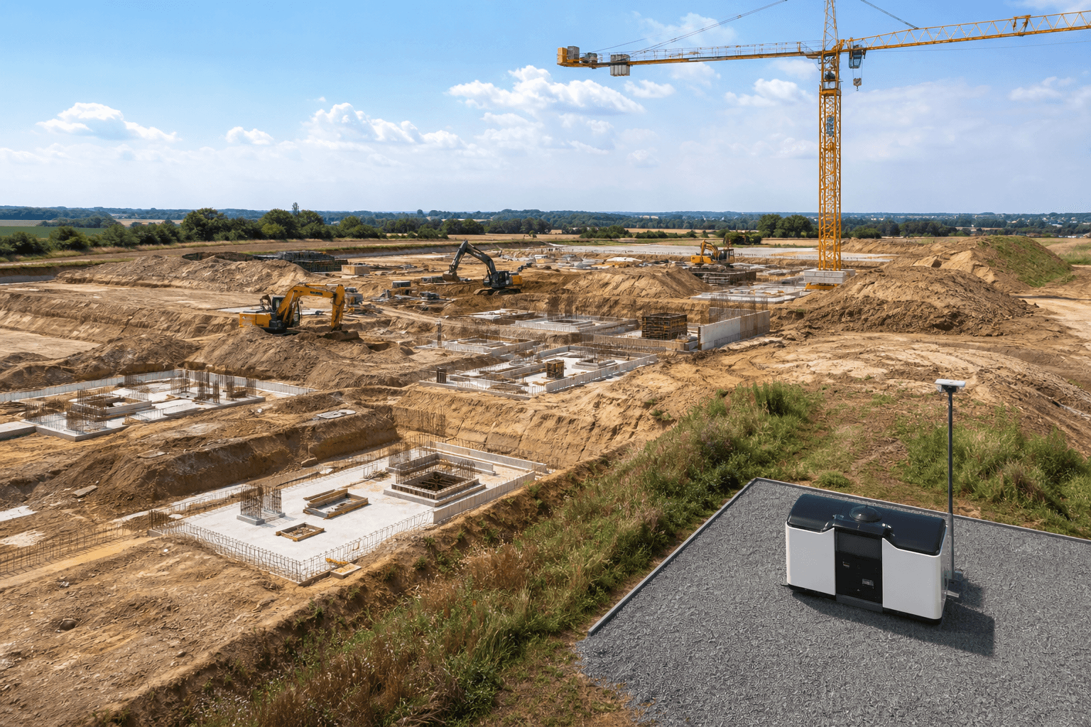
A dock station on your site, flown from the GDDC control centre: regular progress flights, complete documentation, night security — on a fixed monthly contract.
EU 2019/947 · LBA · LUC · DSGVO-konform · Serverstandort DE
Fixed price / month
GDDC SITE
Regular documentation
Progress & docs
LUC-certified
Operations & permits
GDDC SITE
Dock on site · flown from GDDC control centre · contract per construction phase
For: Clients · general contractors · site management · quantity surveying · public sector
- Monthly contract per phase
- GDDC control centre — no client staff
- Time series from first to last cubic metre
GDDC SITE
Your site product on monthly contract
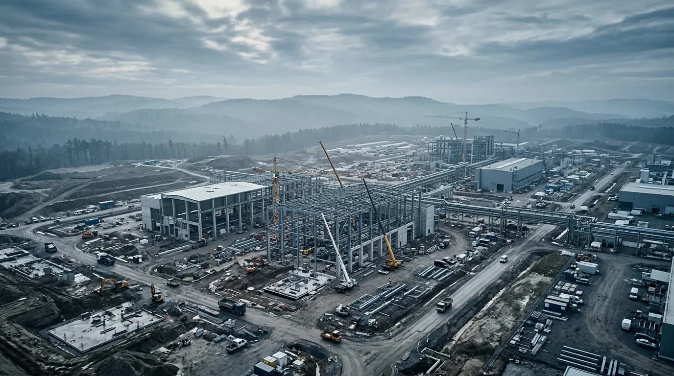
Construction progress
Regular flights on an identical route — comparable time series from excavation to handover. Current status every morning in your dashboard.
Site control
Aerial documentation for site diary, client meetings and evidence — optional digital twin.
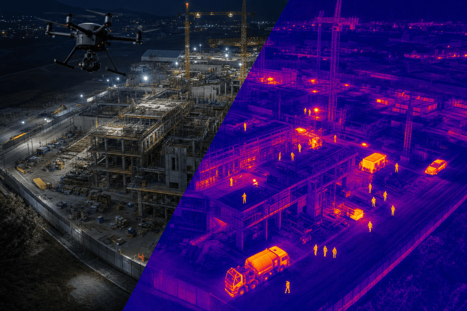
Night security
Security flights with thermal imaging and automatic incident alerts — theft and vandalism without blind spots.
GDDC SITE
Dock on site · flown from GDDC control centre · contract per construction phase
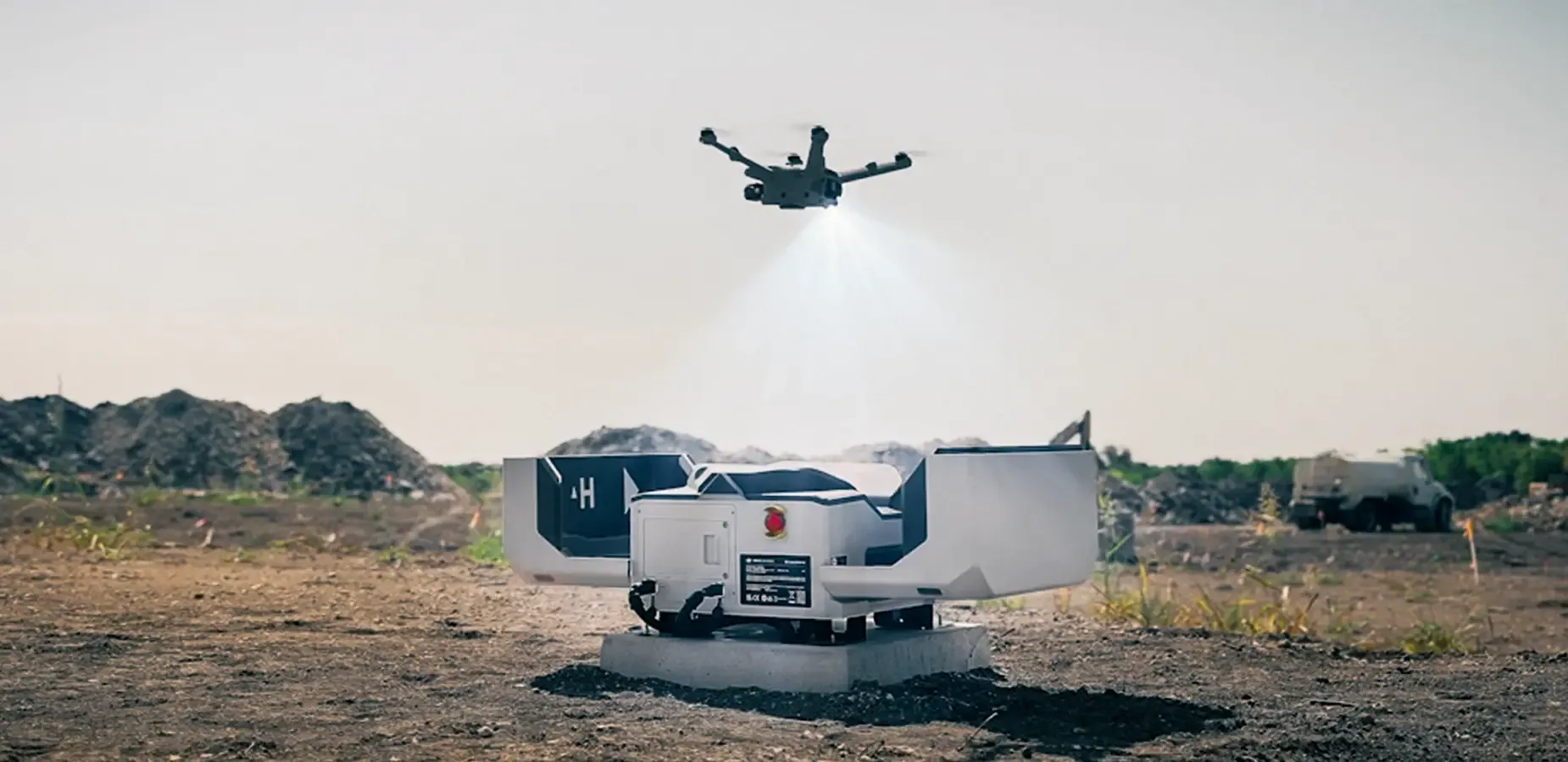
The dock stays on your site. Flights, analysis and alerts run from the GDDC control centre — documented and insured.

Starting point
What slows construction sites today
Quantity disputes
Disputes over quantities — without a reliable, repeatable data basis.
Doc gaps
Documentation when budget allows — gaps when money is tight.
Survey under pressure
Surveying as a rush job — external teams, €3,000–8,000 per day.
Unprotected nights
Unwatched at night — large open areas without continuous monitoring.
Predictable costs instead of capex
Each of these issues costs more per incident than one monthly dock-station rate.
One monthly rate: dock, drone, operations, piloting, analysis and insurance — no upfront investment, OPEX not CAPEX. Scope adapts to your needs per construction phase.
Process
How GDDC SITE runs on your site
Setup
Site check, LUC approval, dock installation — operational within days.
Regular flight
Automated from the control centre — no client staff required on site.
Analysis
Dashboard for site management, QS and client — optional digital twin.
Reporting
On your schedule — incidents and deviations immediately.
- ConOps per site
- DIN 18710
- GDPR · hosted in DE
- €5M insurance
- LUC
On-demand services
When you need more — from the same contract
Precision surveying
RTK ±1–2 cm, point clouds, BIM formats — delivery within 48 hours.
Winter greening
80% greening duty: drone seeding, proof included.
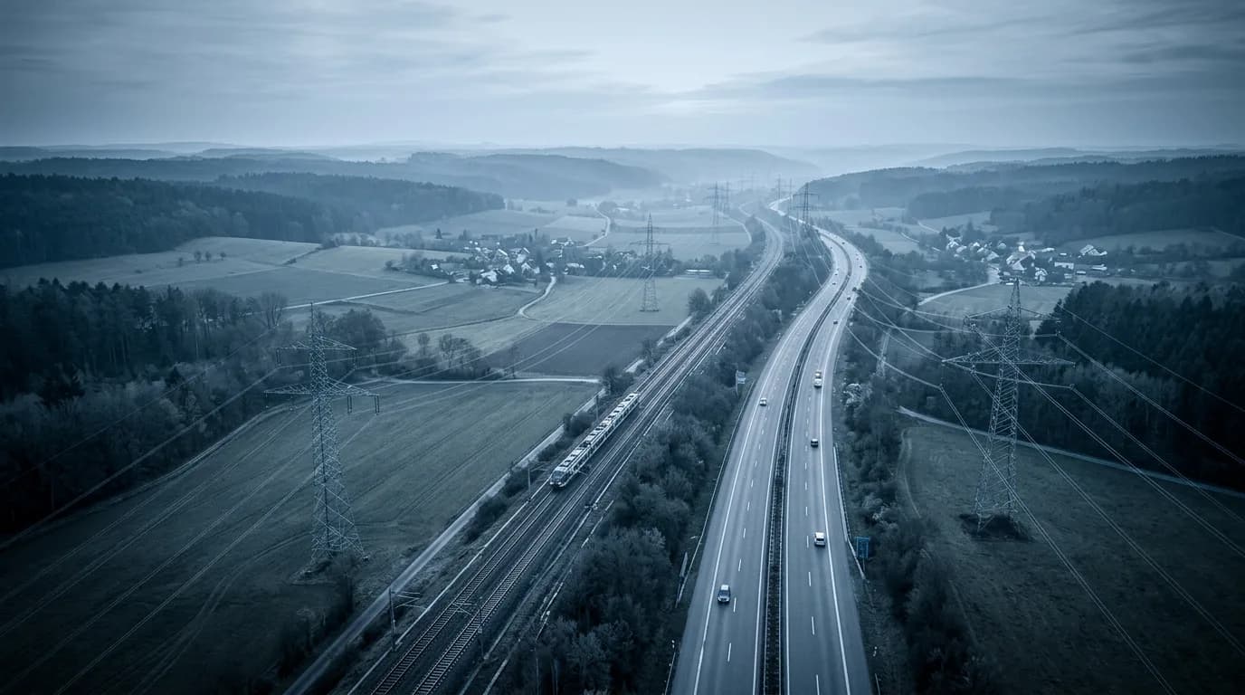
Corridors & rail
Corridor flights, RailSight workflow — project-based from contract.
100 ha
Survey per day
< 2 cm
RTK accuracy
48 h
Report delivery
BETA
Your SITE dashboard
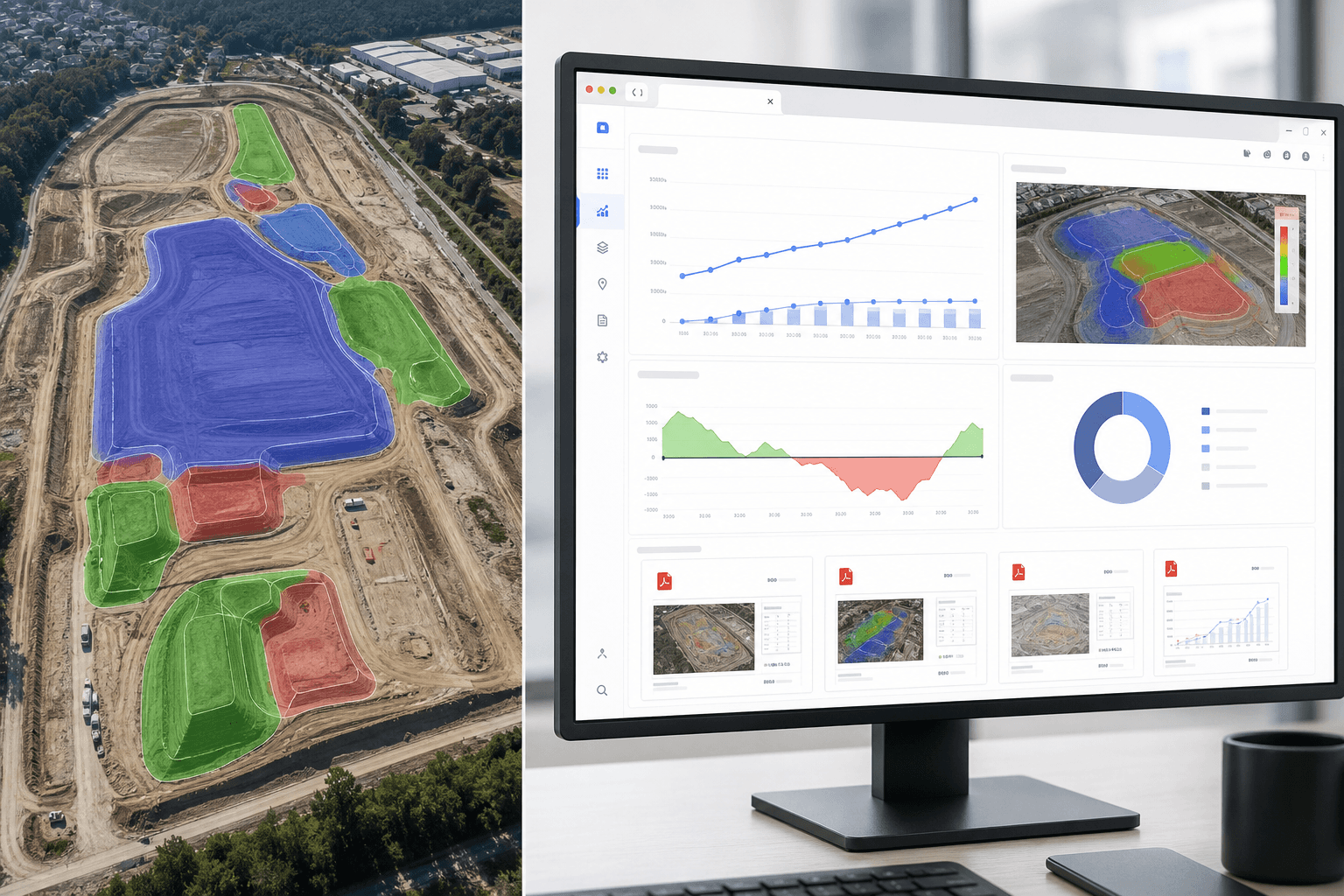
Time series, volumes and reports in the browser
GDDC Geospatial is your SITE dashboard: multitemporal orthos, point clouds, volumes and reports — for site management and billing. Secure beta access now.
Getting started
Three steps to continuous documentation
Site check
Free, approx. 2 hours, no obligation — we assess terrain, airspace and dock location.
Pilot phase
Live dock operation with a real dashboard — see data quality and workflow first-hand.
SITE contract
Fix your monthly rate — documentation runs until handover.
Request your site check now
Free, no obligation, scheduled within days. Secure your start date for the next construction phase. Contact: Pierre Fastrich, CEO · +49 (0)4351 767730 · kontakt@gddc-sh.de

Request a free site check
Describe your site, phase and preferred start — we will reply with a proposed appointment.