
 · Construction
Drones for construction sites — surveying, progress and documentation in one flight
SKYLINE OPS delivers audit-ready survey data, BIM-aligned 3D models and weekly site documentation. On demand, GDPR-secure, nationwide in Germany.
GDDC Geospatial
Geospatial platform — join the beta now
Capture → Process → Deliver — drone geodata in one platform. Multitemporal orthos, point clouds, volumes and standards-aligned reports for construction, rail and KRITIS. Sign up for the beta.
 · Construction
Construction-site platform for surveying, volumes and 4D progress
For: Developers · general contractors · surveyors · architects · construction supervisors · infrastructure operators
- Orthophoto, point cloud and BIM export from a single flight
- Cut/fill and as-built vs. design for billing and site management
- Weekly progress dashboards for large construction sites
- LUC
- DIN 18710 (surveying)
- BIM Level 2 ready
- GDPR
- €5M liability insurance
Use cases
What we deliver for you
Surveying & 3D mapping
Terrain models (DTM/DSM), orthophotos, point clouds (LAS/LAZ). Up to 50 ha per flight.
Volume calculation
Excavation, stockpiles, material yards. Design vs. actual comparison, audit-ready for billing.
Construction progress & 4D documentation
Weekly flights, as-built model vs. BIM design, deviation highlighting.
Structure & bridge inspection
Facades, roofs, bridge structures. AI-assisted crack detection. Suitable for heritage sites.


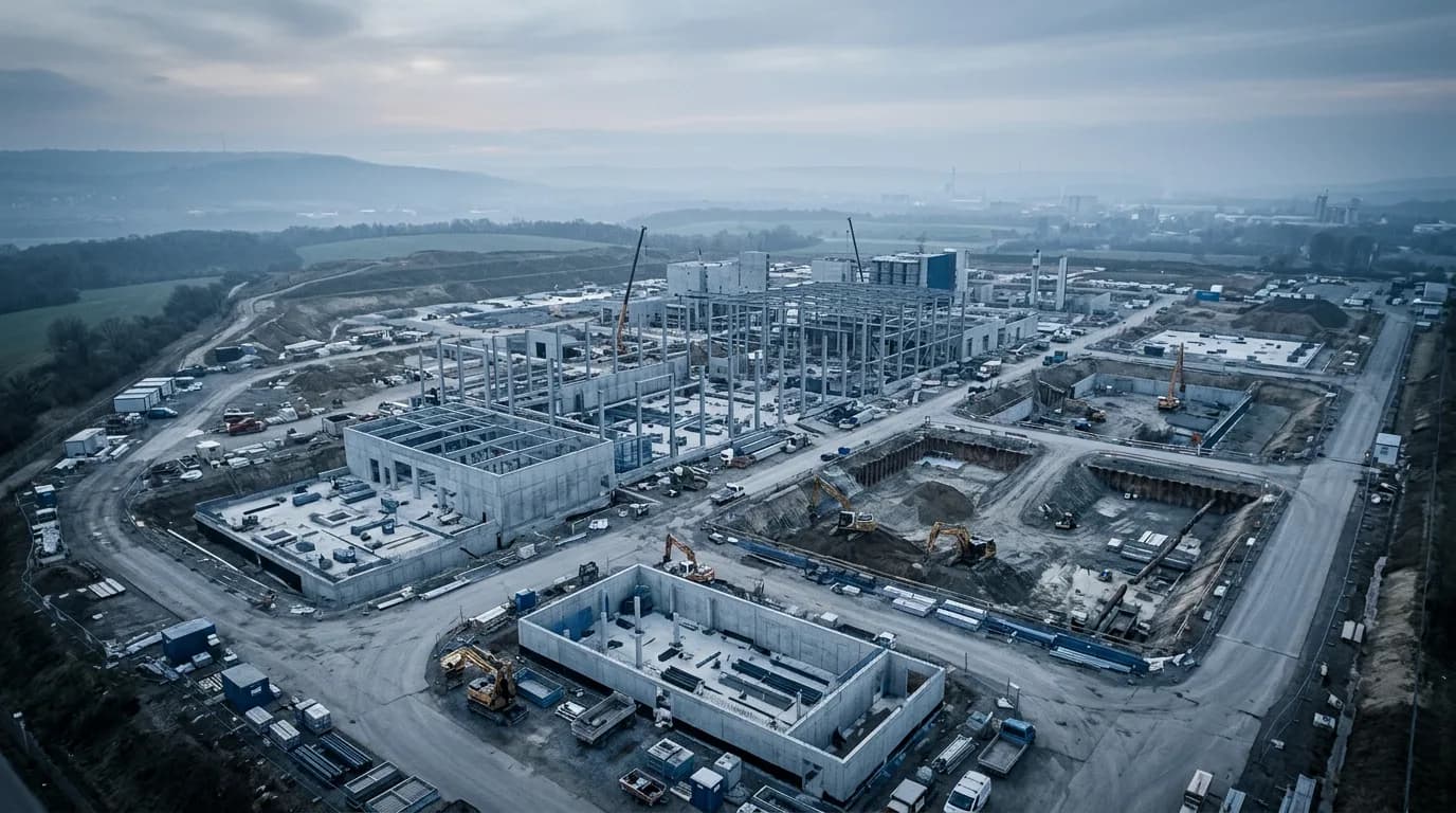

Process
How it works
Request
Submit site plan and coordinates.
Approval & planning
Permits and flight plan within 24 hours.
Capture flight
Automated or piloted data acquisition.
Delivery
Georeferenced data and report in your dashboard.
Deliverables
What you receive

Orthophotos (≤ 1 cm GSD)

Point clouds (LAS/LAZ, .e57)

3D mesh (.obj, .fbx) for BIM/Revit

Volume reports (PDF + .csv)

Weekly progress dashboards
Compliance
Legally sound and documented
DIN 18710-aligned surveying, trained pilots, ConOps per site. Data sovereignty stays with the client — hosting in Germany.
3D BIM
IFC + LandXML export
< 2 cm
RTK GCP accuracy
100 ha
Survey area per day
48 h
QA report delivery
FAQ
Frequently asked questions
How accurate is the survey data?
With RTK/GCP typically < 2 cm horizontally; GSD and CE95 are documented per project in the QA sheet.
Do you deliver BIM-compatible formats?
Yes — point cloud, mesh, IFC/LandXML reference depending on project phase; compatible with common BIM tools.
Can you fly on active construction sites?
Yes — after coordination with site management, ConOps and short-term airspace restrictions if required.
How does legally sound volume billing work?
Polygon-based cut/fill metrics against a reference surface or previous epoch — exportable as PDF/CSV for measurement.
What does a weekly progress subscription cost?
From approx. €1,990/month (STARTER) — depending on area, number of epochs and analysis depth.
How long from enquiry to first flight?
Often 24–72 h after permits; standard projects with a site plan usually within one week.
Genehmigungs-Finder
Which permit do you need?
In wenigen Schritten zur passenden EU-Kategorie — danach sehen Sie Kurse oder GDDC-Services.
Construction project enquiry
Site plan, coordinate system and goal (survey / volume / progress) — we outline the flight plan.